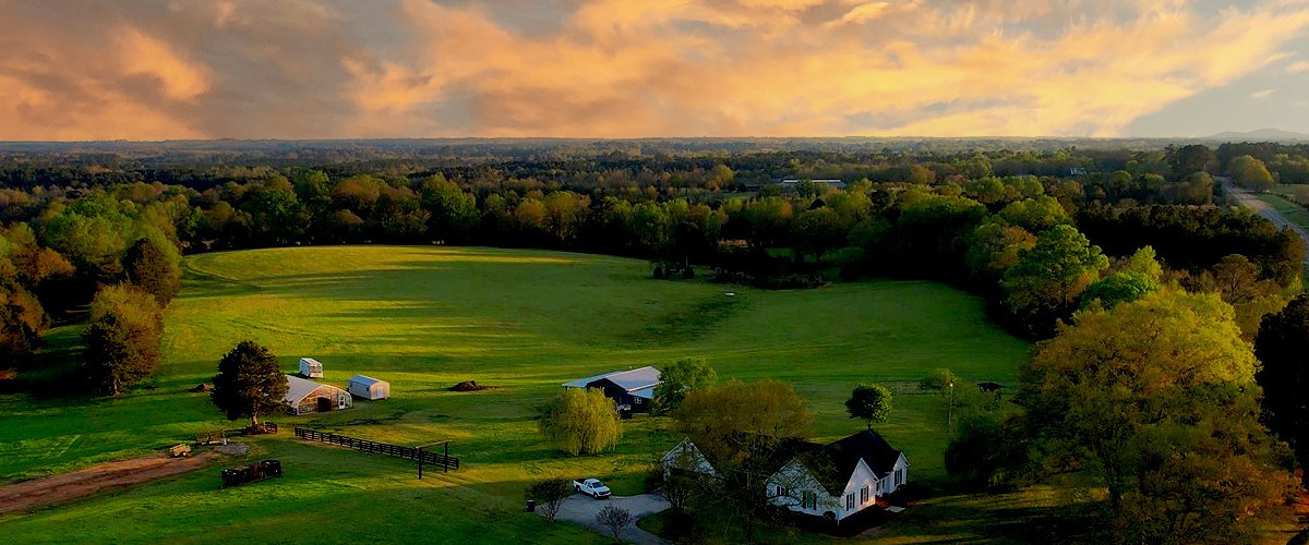
When you need to make decisions, sometimes you just need to see things from a different perspective. Today’s technology allows us to take advantage of high quality photography through the use of Unmanned Aerial Vehicles through the skills of a licensed and capable pilot. This is a high-demand service which we are eager to provide using our past experience as aerial photographers. Aerial surveying and mapping leverages a UAV to take hundreds of photographs and stitching them together into a 3D map, complete with GPS coordinates, accurate measurements and summary analytics. This process is called photogrammetry and helps improve safety on construction sites, detailed maps for land transactions, and much more.
What are use cases for UAV mapping?
There are many reasons for areial mapping across all types of industries. The most common uses for UAV mapping in industries include
Stockpile measurements – the amount of raw materials on-hand is an important metric to monitor. Drone mapping can take the guess work out of this process which leads to lower inventory costs and better supply chain management.
Earthwork measturements – excavators know dirt is a valuable resource and knowing how much you’re moving or how much you have available to sell is important data. Additionally drones can be used to verify the slope of the excavated area before paving or construction begins which can prevent issues like drainage issues.
Project management – “trust but verify” is a great slogan by which companies may choose to manage their projects. When you need accurate information on large scale projects, the fastest way to gather that information, and do it accurately is from above with a UAV mapping session. Project managers can get real time information about the status of large projects and adjust work forces as needed.
Land development planning – UAV’s can be geo-fenced within the GPS coordinates of a plot of land which needs to be measured and recorded. This allows for highly accurate land plots to be created as quickly as possible.
Aerial photography – the cameras on today’s unmanned vehicles are super detailed and provide beautiful photographs and pictures which can be used to create everything from custom wall art to production quality videos for commercials and other forms of advertising.
What deliverables are available with UAV mapping?
Unmanned Aerial Vehicles offer more than just super-high resolution video. Software today can allow a skilled technician to deliver 3D site models, topographs, accurate volume/mass calculations, reducing down-time for maintenance projects and a complete set of GPS coordinates mapped during the session. Other types of technology can deliver thermal and moisture reports. The benefit with this technology is the turn around time. Computers and state-of-the-art software allow for on-site measurement calibrations and meassurements which are extremely accurate, often from 300-400 foot elevations.
How much does a UAV mapping cost?
The cost of a mapping session depends on the needs of the client but can range from $300 to thousands of dollars depending on the scope and needs of the the client. Feel free to contact us today for a custom quote.


